File:Huldefossen in Sunnfjord.jpg

Num kura awobe: 800 × 600 pixels. Gade resolutions: 320 × 240 pixels | 640 × 480 pixels | 1,024 × 768 pixels | 1,280 × 960 pixels | 2,560 × 1,920 pixels | 3,264 × 2,448 pixels.
File usuli be (3,264 × 2,448 pixels, file size: 1.1 MB, MIME type: image/jpeg)
Kasartǝ
| Camera location | | View this and other nearby images on: OpenStreetMap |
|---|
| Bayin |
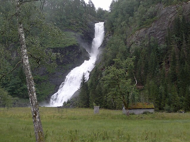
Suomi: Huldefossen Sunnfjordissa, Norjassa. |
| Kaü kentaü be | |
| Usulu | Cida kaanum |
| Ruoma | Stryn |
Lasisi yo
This file is licensed under the Creative Commons Attribution-Share Alike 3.0 Unported license.
Genata: Stryn
- Ran nimin:
- yakte wa – gota, yaktuwa kuru yado wa
- kalakte – chida gota wa
- Cideya conditions hu be
- genata – Asker nǝ nglaro,link izni bǝ yǝ, kuru flǝnǝ chandi tidina,bayin nglama yǝ, kuru jiriyi yaye giyi futu donyi izni njoma nyiro chinama
- jiri fal – Awo yasawuiya banan do suro adǝ lan
Gargam file be
Kentawu wa luktu wa ranne file de rui
| Kentawu/luktu | Thumbnail | Nakkaa nguwu | Faidatema | Mana | |
|---|---|---|---|---|---|
| kərma | 17:07, 23 Maraam 2012 | | 3,264 × 2,448 (1.1 MB) | Stryn |
Faida file be
There are no pages that use this file.